

WGS84 coordinate tools — offline.
GEO Calc : Coordinates
Convert DD, DMS, UTM and MGRS. Compute Vincenty geodesic distance and bearing, measure on a map, and export GPX — built for surveyors and field engineers. Free on iOS and Android. Offline-first; no account.
Available on the App Store & Google Play · Offline-first · No account


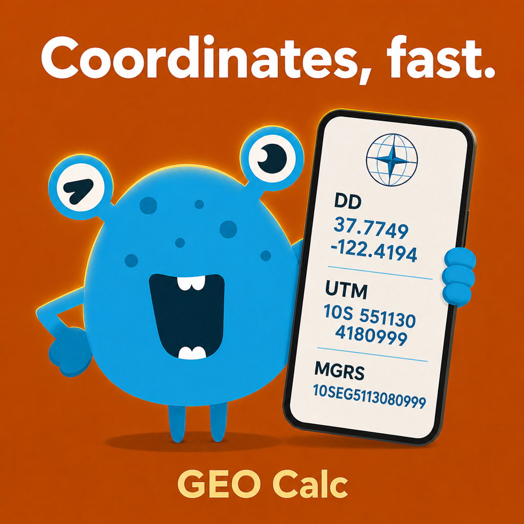
Precision where there's no signal
Multi-format converter
Convert between Decimal Degrees, DMS, UTM, and MGRS on the WGS84 ellipsoid. Auto-detect format or pick decimal order.
- • DD, DMS, UTM, and MGRS
- • Auto-detect coordinate format
- • Lat/lng order preference
- • One-tap copy results
Geodesic distance & bearing
Ellipsoidal distance and forward azimuth between two points using Vincenty inverse — not flat-map shortcuts.
- • Vincenty inverse geodesic
- • Forward azimuth / bearing
- • Geodesic direct (point + distance + bearing)
- • Metric, imperial, or nautical units
Map measure
Draw paths and polygons on an offline map canvas. Measure path length and polygon area on the WGS84 ellipsoid.
- • Tap to add vertices
- • Path distance on ellipsoid
- • Polygon area (GeographicLib)
- • Optional GPS centering
Waypoints & GPX
Save named waypoints locally. Export waypoints or track vertices as GPX 1.1 for GIS and GPS devices.
- • Local waypoint library
- • GPX 1.1 export
- • Named points with coordinates
- • Share via system sheet
Offline by design
Core conversion, distance, and map measure work without a network. No sign-up — waypoints stay on your device.
- • No account required
- • Works without cell service
- • Local waypoint storage
- • Dark theme for outdoor use
12 languages
Field teams worldwide — including Hebrew and Arabic with RTL UI support.
- • English, Hebrew, Arabic
- • German, Spanish, French, Italian
- • Japanese, Korean, Portuguese, Russian, Chinese (Simplified)
See GEO Calc in action
Eight store-ready frames — converter, distance, map, navigation, live GPS, and satellite.
App screens
Your field coordinate kit
Convert, measure, and navigate — offline ready on one home screen.
Paste any coordinate
Instant DD, DMS, UTM, and MGRS results with auto-detect.
True ground distance
Vincenty geodesic on WGS84 — not flat-map shortcuts.
Measure on the map
Path length, polygon area, and GPX export — tap to measure.
Walk to any point
Live compass arrow and arrival alert for field navigation.
Know where you stand
Live GPS coordinates in DD, DMS, UTM, and MGRS.
Find the destination
Bearing plus distance to a precise coordinate using Vincenty direct.
See the terrain
Satellite imagery for map context in the field.
How to use GEO Calc
Convert coordinates
Open Converter, paste or type coordinates, and read DD, DMS, UTM, and MGRS in one view.
Check distance
Enter two points in Distance & Bearing for Vincenty geodesic length and azimuth.
Measure & export
Use Map Measure for paths and areas, save waypoints, and export GPX when ready.
User manual
Converter, distance, map, waypoints, and settings.
1. Coordinate converter
- Paste or type a coordinate string — DD, DMS, UTM, or MGRS.
- Toggle auto-detect or pick input format manually.
- Set coordinate order (lat/lng or lng/lat) in Settings if needed.
- Tap copy icons to send results to another app.
2. Distance & bearing
- Enter point A and point B in DD or DMS.
- Read geodesic distance and forward azimuth.
- Switch metric, imperial, or nautical units in Settings.
- Use Direct mode to find a point given start, distance, and bearing.
3. Map measure
- Open Map Measure — works offline.
- Tap to add vertices along a path or polygon.
- Read path length or polygon area on WGS84.
- Allow location only if you want GPS map centering.
4. Waypoints & GPX
- Save points from converter or map with a name.
- Browse the local waypoint list — no cloud sync.
- Export selected waypoints or track as GPX 1.1.
- Share GPX via Files, email, or GIS apps.
Tips & tricks
Get reliable results in the field.
Verify critical work
GEO Calc uses standard WGS84 geodesy — not a substitute for certified survey instruments or legal boundaries.
No network needed
Download offline map tiles before heading to remote sites if your build includes map caching.
Coordinate order
Set lat/lng vs lng/lat once in Settings to avoid swapped results on international projects.
GPX handoff
Export waypoints as GPX and open in QGIS, Google Earth, or a handheld GPS unit.
Unit systems
Switch metric, imperial, or nautical for distances and areas — useful for marine and aviation cross-checks.
Optional GPS
Converter and distance tools work from typed coordinates — GPS is only for map centering.
Built for professional field work
Quick WGS84 checks when a full GIS project is overkill.
Surveyors & cadastral staff
Convert UTM ↔ DD on site and verify spacing between control points.
Civil & geotechnical engineers
Check traverse distances and bearings without opening a laptop.
GIS technicians
Validate coordinates offline and export GPX for desktop GIS workflows.
SAR & outdoor teams
Measure zones and paths on a map when there is no cell signal.
Not a substitute for certified survey instruments or legal boundary work. Verify critical measurements with appropriate professional methods.
Frequently asked questions
Offline use, accuracy, ads, and platforms.
What is GEO Calc?+
GEO Calc is an offline WGS84 coordinate calculator for iOS and Android. Convert DD, DMS, UTM, and MGRS; compute Vincenty distance and bearing; measure on a map; export GPX. Android package: com.zuki.apps.geocalc.
Does GEO Calc need internet?+
Core conversion, distance, and map measure work offline. Ads and analytics may use the network when available.
Is it survey-grade?+
Calculations use standard WGS84 geodesy (Vincenty, ellipsoidal area). Verify critical measurements with certified survey equipment — GEO Calc is a field reference tool, not legal boundary authority.
Do I need an account?+
No. Waypoints and preferences are stored on your device only.
Is there a subscription?+
No. GEO Calc v0.9.0 is free with optional banner and interstitial ads. No in-app purchases at launch.
Does it use my GPS location?+
Location is optional — used when you open map or GPS features. Converter and distance tools work from typed coordinates alone.
What coordinate formats are supported?+
Decimal Degrees (DD), Degrees-Minutes-Seconds (DMS), UTM, and MGRS on WGS84.
Can I export to GIS?+
Yes — save waypoints and export GPX 1.1 for QGIS, ArcGIS, Google Earth, and GPS devices.
Which languages are supported?+
12 languages: English, Hebrew, Arabic, German, Spanish, French, Italian, Japanese, Korean, Portuguese, Russian, and Chinese (Simplified).
How do I get support?+
Email [email protected] or visit https://zukiapps.com/geo-calc/support. Privacy: https://zukiapps.com/geo-calc/privacy
Where can I download GEO Calc?+
iOS: https://apps.apple.com/il/app/geo-calc-coordinates/id6787519144 · Android: https://play.google.com/store/apps/details?id=com.zuki.apps.geocalc · Product page: https://zukiapps.com/geo-calc
More from Zuki Apps
Explore other free iOS & Android apps from the same developer.


Availability
GEO Calc : Coordinates is live on the App Store and Google Play.
Version
1.0.5+9
Platform
App Store (iOS) · Google Play (Android)
Download GEO Calc
Offline WGS84 coordinate converter, Vincenty distance, map measure, and GPX export for field work. Free on iOS and Android.
More from Zuki Apps
Explore other free iOS & Android apps from the same developer.